
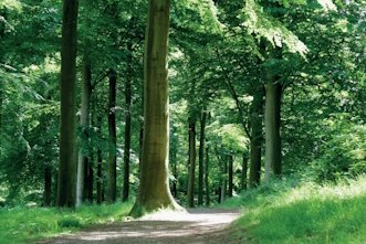
Walking
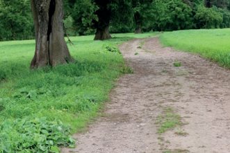
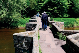
The National Landscape can be explored along 157 km of public rights of way, including sections of long distance paths like the Heart of England Way, Staffordshire Way, and Way for the Millennium.
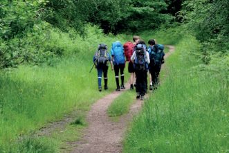
A variety of walks of different lengths in all parts of the Chase can be discovered and downloaded from here. Take a look at the map below to see where you would like to walk. Maps and text can be downloaded for each walk to help. Walks are from 1 mile to over 10 miles long so there will be something for everyone.
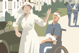
The most accessible trail is RAF Hednesford which starts at Cannock Chase Visitor Centre, Marquis Drive and follows level, well surfaced paths for most of the route. This trail is a circular 2 mile route and there are many benches along the way to stop for a rest or to admire the scenery. Interpretation panels explain how this area was used for the training of troops for the Second World War.
For more accessible information including our Access guide and videos of some of the more accessible trails see our Access for All page.
The Cannock Chase Heritage Trail has recently been brought to life with animation. This is a 10 mile route linking the towns of Cannock, Hednesford and Rugeley. It passes through, or close to sites of historic or environmental interest with interpretation panels along the way to tell the story at each location.
A walking booklet of 14 circular walks in and around Cannock Chase National Landscape can be purchased from the Cannock Chase Visitor Centre for just £3.50.
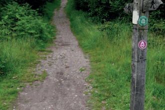
Find a selection of walking routes below, just select the waymarker symbol where you would like to walk to find out more:
Wolseley and the Trent Valley
6.5 miles | Long (over 6 miles) | Approx. 2.5 hours
A walk through contrasting landscapes.
Tixall and Shugborough
5.5 miles | Medium (4-6 miles) | Approx. 2 hours
7.5 miles | Long (over 6 miles) | Approx. 2.75 hours
Explore the heritage in the north of the AONB.
Sow Valley
8.25 miles | Long (over 6 miles) | Approx. 3 hours
Explore canal and ecclesiastical heritage in the north of the AONB.
Rugeley and Cannock Chase Forest
9.25 miles | Long (over 6 miles) | Approx. 3.5 hours
Explore Cannock Chase Forest from Rugeley.
Around Castle Ring and Beaudesert Old Park
5.25 miles | Medium (4-6 miles) | Approx. 2 hours
A woodland walk on forest tracks.
Around Rugeley Camp and Fairoak Valley
4.75 miles | Medium (4-6 miles) | Approx. 2 hours
Exploring military and mining history.
Brindley Heath Trails
1.25 – 2.25 miles | Short (under 4 miles) | Approx. 1 – 2 hours
Brindley Heath is steeped in memories, and together with its natural history, offers three circular waymarked trails for everyone to enjoy.
Milford Common Trails
2 miles | Short (under 4 miles) | Up to 1 hour
Two circular walks on country paths.

RAF Hednesford Trail
2 miles | Short (under 4 miles) | Approx. 1 hour
A circular walk on level, well surfaced paths.
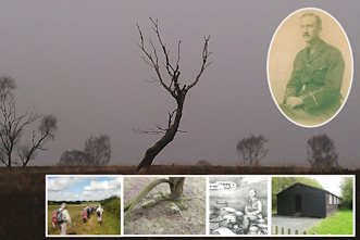
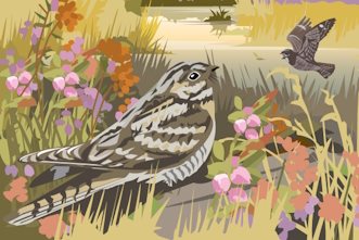
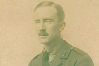
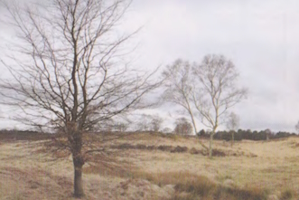
Tolkien trail
The Staffordshire Tolkien trail is a series of three linked walks that cover over 30 miles of the Staffordshire Countryside on and around Cannock Chase. The walks focus on Staffordshire’s J.R.R Tolkien connection.
Tolkien walks
1 mile / 2 miles | Short (under 4 miles) | 1 hour / 2 hours
These short walks are ones that JRR Tolkien probably undertook whilst he was in the area and which walkers and Middle-earth lovers will enjoy.
Cannock Chase geotrail
This geotrail is designed to give a gimpse of the rocks, landscape and the geological industrial heritage of the area.

Cannock Chase heritage trail
A 10-mile cycling and walking route linking the towns of Cannock, Hednesford and Rugeley. It passes through, or close to sites of historic or environmental interest, with interpretation boards along the way that tell the story of each location.
When planning your visit please remember that Cannock Chase is open countryside and that for longer walks you will need stout shoes and waterproof clothing, as well as food and drink.
It is also advisable to take a map with you, such as Ordnance Survey Explorer 244 Cannock Chase & Chasewater- Stafford, Rugeley & Cannock. You can also use the OS app for free but additional features are available to subscribers.
Alternatively the map of Cannock Chase published by HARVEY in conjunction with Cannock Chase National Landscape and the National Navigation Award Scheme is also available.
Protect, respect and enjoy
We want everyone to be proud to protect the Chase. It is a unique and nationally important landscape. However it is also fragile and some behaviours can cause accidental but significant harm. The Cannock Chase Code has been developed to help everyone’s visit to be safe and enjoyable.
