

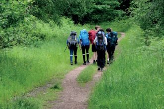
Walking and exploring
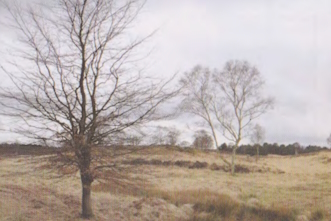
Cannock Chase is one of England’s finest landscapes, based in Staffordshire and the jewel of the West Midlands. Nestled between the cathedral city of Lichfield, Cannock, the county town of Stafford and the market town of Rugeley, its rolling hills, vast expanse of purple heather and quiet woodlands are an idyllic setting for leisurely walks, horse rides and cycling.
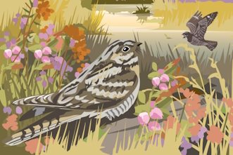
Within its small area the Chase has a remarkably varied landscape, with ancient woodland, conifer plantations, river valleys and wetlands, open heathlands, historic parklands and farmland. The range of wildlife that can be found here is equally impressive, including a herd of native fallow deer, four of Britain’s six reptiles, a number of rare and endangered birds like nightjar and woodlark, and specialised and unique plants like the rare “Cannock Chase berry” – an unusual hybrid between bilberry and cowberry.
Enjoy Staffordshire and the Cannock Chase visitor hub have lots of helpful information about Cannock Chase and great ideas and inspiration about events, what to do, attractions, places to eat, and where to stay.
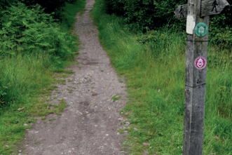
When planning your visit please remember that Cannock Chase is open countryside and that for longer walks you will need stout shoes and waterproof clothing, as well as food and drink. It is also advisable to take a map with you, such as Ordnance Survey Explorer 244 Cannock Chase & Chasewater, or the map of Cannock Chase published by HARVEY in conjunction with Cannock Chase National Landscape and the National Navigation Award Scheme. This map also contains information about the area, its wildlife, plants and animals.
Wolseley and the Trent Valley
6.5 miles | Long (over 6 miles) | Approx. 2.5 hours
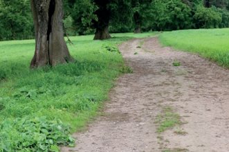
A walk through contrasting landscapes.
Tixall and Shugborough
5.5 miles | Medium (4-6 miles) | Approx. 2 hours
7.5 miles | Long (over 6 miles) | Approx. 2.75 hours
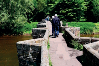
Explore the heritage in the north of the AONB.
Sow Valley
8.25 miles | Long (over 6 miles) | Approx. 3 hours
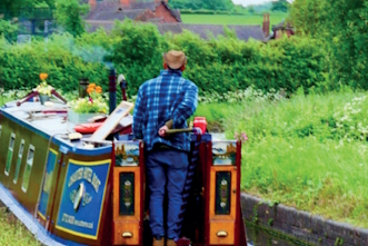
Explore canal and ecclesiastical heritage in the north of the AONB.
Rugeley and Cannock Chase Forest
9.25 miles | Long (over 6 miles) | Approx. 3.5 hours
Explore Cannock Chase Forest from Rugeley.
Around Castle Ring and Beaudesert Old Park
5.25 miles | Medium (4-6 miles) | Approx. 2 hours
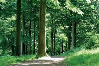
A woodland walk on forest tracks.
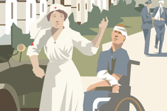
Around Rugeley Camp and Fairoak Valley
4.75 miles | Medium (4-6 miles) | Approx. 2 hours
Exploring military and mining history.
Brindley Heath Trails
1.25 – 2.25 miles | Short (under 4 miles) | Approx. 1 – 2 hours
Brindley Heath is steeped in memories, and together with its natural history, offers three circular waymarked trails for everyone to enjoy.
Milford Common Trails
2 miles | Short (under 4 miles) | Up to 1 hour
Two circular walks on country paths.

RAF Hednesford Trail
2 miles | Short (under 4 miles) | Approx. 1 hour
A circular walk on level, well surfaced paths.
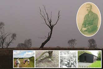
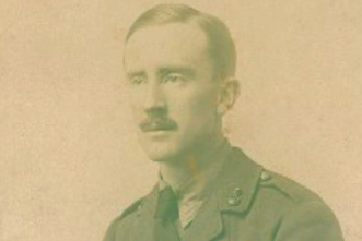
Tolkien trail
The Staffordshire Tolkien trail is a series of three linked walks that cover over 30 miles of the Staffordshire Countryside on and around Cannock Chase. The walks focus on Staffordshire’s J.R.R Tolkien connection.
Tolkien walks
1 mile / 2 miles | Short (under 4 miles) | 1 hour / 2 hours
These short walks are ones that JRR Tolkien probably undertook whilst he was in the area and which walkers and Middle-earth lovers will enjoy.
Cannock Chase geotrail
This geotrail is designed to give a gimpse of the rocks, landscape and the geological industrial heritage of the area.

Cannock Chase heritage trail
A 10-mile cycling and walking route linking the towns of Cannock, Hednesford and Rugeley. It passes through, or close to sites of historic or environmental interest, with interpretation boards along the way that tell the story of each location.